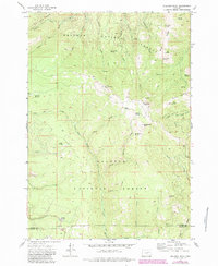
1972 Map of Bullrun Rock
USGS Topo · Published 1984About this map
The high dividing ridges of the Whitman National Forest and Malheur National Forest dominate this landscape along the boundary of Baker and Grant counties. The complex network of water sources, including Payton Spring and the South Fork Burnt River, underscores the importance of water management in the high country, evidenced by the Eldorado Ditch cutting across the northern slopes. This hydraulic feature carried water for mining and irrigation across the watershed, a common necessity in the arid reaches of Eastern Oregon.
Find a feature on this map
53 named features on this map. Tap any name to fly to it.
Don’t see what you’re looking for? This feature index may not catch every label — zoom into the map to look around manually.
Map Details
Editions of this 1972 Bullrun Rock Map
2 editions found
Other maps of this area

1908 · Ironside Mountain
USGS Topo · 1:125,000

1955 · Canyon City
USGS Topo · 1:250,000

1959 · Canyon City
USGS Topo · 1:250,000

1970 · Flag Prairie
USGS Topo · 1:62,500

1970 · Castle Rock
USGS Topo · 1:62,500
1972 · Unity
USGS Topo · 1:24,000
1972 · Deardorff Mtn
USGS Topo · 1:24,000
1972 · Bullrun Rock
USGS Topo · 1:24,000
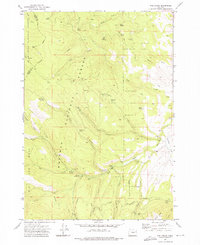
1972 · Rail Gulch
USGS Topo · 1:24,000
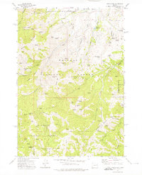
1972 · Rastus Mtn
USGS Topo · 1:24,000