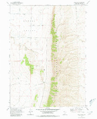
1968 Map of Bulls Pass
USGS Topo · Published 1980About this map
Hansel Valley occupies the western portion of this Box Elder County survey, defined by its wide, open floor and scattered infrastructure including a Well and several structures marked as Storage Bin. The landscape is dominated by the north-south spine of the North Promontory Mountains, which separates the valley from the high, dissected terrain to the east. A narrow passage known as Bulls Pass provides a natural crossing point through these heights, where the topography transitions into a network of steep ridges and canyons.
Find a feature on this map
8 named features on this map. Tap any name to fly to it.
Don’t see what you’re looking for? This feature index may not catch every label — zoom into the map to look around manually.
Map Details
Editions of this 1968 Bulls Pass Map
2 editions found
Other maps of this area

1954 · Brigham City
USGS Topo · 1:250,000

1958 · Brigham City
USGS Topo · 1:250,000

1961 · Thatcher Mountain
USGS Topo · 1:62,500

1962 · Brigham City
USGS Topo · 1:250,000

1968 · Lake Ridge
USGS Topo · 1:24,000

1968 · Sunset Pass
USGS Topo · 1:24,000

1968 · Howell
USGS Topo · 1:24,000

1968 · Salt Wells
USGS Topo · 1:24,000

1968 · Ridgedale Pass
USGS Topo · 1:24,000

1968 · Rattlesnake Pass
USGS Topo · 1:24,000