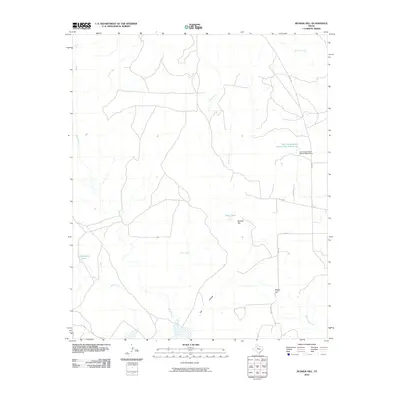
2010 Map of Bunker Hill
USGS Topo · Published 2010About this map
White River and its network of tributaries define the topography of this Crosby County landscape, where the High Plains drop into the broken drainage of the Brazos River basin. The geography is characterized by distinct elevation markers such as Bunker Hill and Negro Hill, alongside rugged drainage features like Poe Hollow. The 2010 survey details a region focused on water management and ranching infrastructure, evidenced by the Soil Conservation Service Site 6 Reservoir and its associated dam. Smaller localized water sources, including Shaw Tank and Cottonwood Tank, appear throughout the quadrangle, illustrating the vital role of water storage in this semi-arid Texas environment. A network of rural routes, including FM 836 and several county roads, provides access across the drainage systems of Pete Creek, Grape Creek, and Sand Creek, connecting the scattered ranchlands of the region.
Find a feature on this map
18 named features on this map. Tap any name to fly to it.
Don’t see what you’re looking for? This feature index may not catch every label — zoom into the map to look around manually.
Map Details
Editions of this 2010 Bunker Hill Map
This is the sole edition of this map. No revisions or reprints were ever made.
Other maps of this area

1954 · Lubbock
USGS Topo · 1:250,000

1961 · Bunker Hill
USGS Topo · 1:24,000

1962 · Smith Tank
USGS Topo · 1:24,000

1966 · Crosbyton
USGS Topo · 1:24,000

1966 · Kalgary
USGS Topo · 1:24,000

1966 · McAdoo
USGS Topo · 1:24,000

1966 · Collett Springs
USGS Topo · 1:24,000

1967 · Haystack Mountain
USGS Topo · 1:24,000

1967 · Spur NW
USGS Topo · 1:24,000

1968 · Foreman Chapel
USGS Topo · 1:24,000