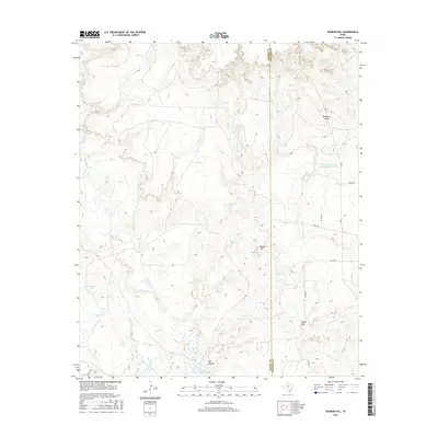
2016 Map of Bunker Hill
USGS Topo · Published 2016About this map
The White River Reservoir dominates the southern landscape of this region along the border of Crosby Co and Dickens Co. This terrain is defined by the erosion patterns of the White River, which is fed by numerous seasonal drainages including Pete Cr, Sand Cr, and Dockum Cr. The elevation rises toward the prominent heights of Bunker Hill and Negro Hill, offering a clear view of the topographical transition from the High Plains down toward the river basin. Resource management is evident through features like the Soil Conservation Service Site 6 Reservoir and various livestock watering points such as Shaw Tank and Cottonwood Tank. Remote county roads like Co RD 466 and Co RD 405 provide the primary access through this sparsely settled ranching country, tracing the edges of deep draws like Hackberry Draw.
Find a feature on this map
22 named features on this map. Tap any name to fly to it.
Don’t see what you’re looking for? This feature index may not catch every label — zoom into the map to look around manually.
Map Details
Editions of this 2016 Bunker Hill Map
This is the sole edition of this map. No revisions or reprints were ever made.
Other maps of this area

1954 · Lubbock
USGS Topo · 1:250,000

1961 · Bunker Hill
USGS Topo · 1:24,000

1962 · Smith Tank
USGS Topo · 1:24,000

1966 · Crosbyton
USGS Topo · 1:24,000

1966 · Kalgary
USGS Topo · 1:24,000

1966 · McAdoo
USGS Topo · 1:24,000

1966 · Collett Springs
USGS Topo · 1:24,000

1967 · Haystack Mountain
USGS Topo · 1:24,000

1967 · Spur NW
USGS Topo · 1:24,000

1968 · Foreman Chapel
USGS Topo · 1:24,000