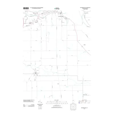
2013 Map of Bunker Hill
USGS Topo · Published 2013About this map
Bunker Hill serves as a central hub in this southern Miami County landscape, where agricultural land is partitioned by a network of drainage infrastructure like Salem Ditch and Lesher Ditch. The northern edge is defined by the Wabash River and the neighboring residential areas of South Peru and Park View Heights. This transition from the river valley to the fertile plains highlights the importance of water management in Indiana's farming history, seen in the winding paths of Little Pipe Cr and Pipe Cr.
Find a feature on this map
114 named features on this map. Tap any name to fly to it.
Don’t see what you’re looking for? This feature index may not catch every label — zoom into the map to look around manually.
Map Details
Editions of this 2013 Bunker Hill Map
This is the sole edition of this map. No revisions or reprints were ever made.
Other maps of this area

1951 · Peru
USGS Topo · 1:24,000

1951 · Onward
USGS Topo · 1:24,000

1951 · Twelve Mile
USGS Topo · 1:24,000

1951 · Bunker Hill
USGS Topo · 1:24,000

1951 · Richvalley
USGS Topo · 1:24,000

1953 · Peoria
USGS Topo · 1:24,000

1953 · Danville
USGS Topo · 1:250,000

1953 · Muncie
USGS Topo · 1:250,000

1955 · Danville
USGS Topo · 1:250,000

1956 · Muncie
USGS Topo · 1:250,000