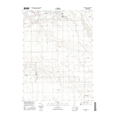
2016 Map of Bunker Hill
USGS Topo · Published 2016About this map
The Wabash River and Mississinewa River confluence defines the northern reaches of this Miami County landscape, where the city of Peru and its suburb South Peru serve as the regional center. To the south, the terrain transitions into a highly managed agricultural plain, marked by an extensive network of drainage features such as Salem Ditch, Lesher Ditch, and Jenkins Ditch. These waterways support the rural townships surrounding Bunker Hill and smaller settlements like Loree and McGrawsville. Genealogists and local historians can trace legacy land patterns through several established burial grounds, including Salem Cem, Rankin Cem, and Leonda Cem. Aviation is central to the area's modern layout, with Robison Airport and Goodenough Airport anchoring the northern and eastern portions of the survey respectively.
Find a feature on this map
75 named features on this map. Tap any name to fly to it.
Don’t see what you’re looking for? This feature index may not catch every label — zoom into the map to look around manually.
Map Details
Editions of this 2016 Bunker Hill Map
This is the sole edition of this map. No revisions or reprints were ever made.
Other maps of this area

1951 · Peru
USGS Topo · 1:24,000

1951 · Onward
USGS Topo · 1:24,000

1951 · Twelve Mile
USGS Topo · 1:24,000

1951 · Bunker Hill
USGS Topo · 1:24,000

1951 · Richvalley
USGS Topo · 1:24,000

1953 · Peoria
USGS Topo · 1:24,000

1953 · Danville
USGS Topo · 1:250,000

1953 · Muncie
USGS Topo · 1:250,000

1955 · Danville
USGS Topo · 1:250,000

1956 · Muncie
USGS Topo · 1:250,000