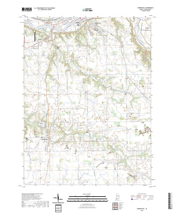
2022 Map of Bunker Hill
USGS Topo · Published 2022About this map
The Wabash River and Mississinewa River converge in the northern portion of this Miami County landscape, anchoring the city of Peru and its surrounding neighborhoods like South Peru and Park View Heights. This area illustrates a classic Midwestern transition from an urban river center to a grid of agricultural land and small hamlets. A significant geographic feature is the Nickle Plate Rail-Trl, which preserves the corridor of a former major rail line through Bunker Hill and southward toward Loree.
Find a feature on this map
113 named features on this map. Tap any name to fly to it.
Don’t see what you’re looking for? This feature index may not catch every label — zoom into the map to look around manually.
Map Details
Editions of this 2022 Bunker Hill Map
This is the sole edition of this map. No revisions or reprints were ever made.
Other maps of this area

1951 · Peru
USGS Topo · 1:24,000

1951 · Onward
USGS Topo · 1:24,000

1951 · Twelve Mile
USGS Topo · 1:24,000

1951 · Bunker Hill
USGS Topo · 1:24,000

1951 · Richvalley
USGS Topo · 1:24,000

1953 · Peoria
USGS Topo · 1:24,000

1953 · Danville
USGS Topo · 1:250,000

1953 · Muncie
USGS Topo · 1:250,000

1955 · Danville
USGS Topo · 1:250,000

1956 · Muncie
USGS Topo · 1:250,000