Loading...
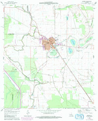
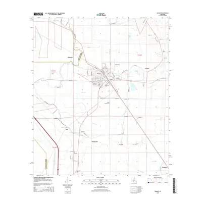
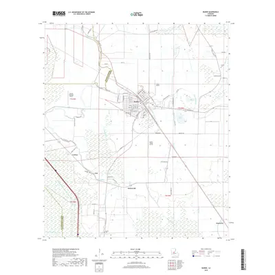
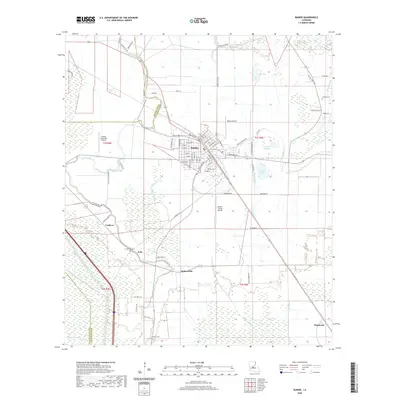
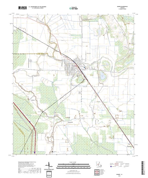
Loading map...1966 Map of Bunkie
USGS Topo · Published 1967About this map
Bunkie serves as a central hub in this mid-1960s landscape, where the Texas and Pacific and Southern Pacific railroads converge amidst a complex network of bayous and agricultural land. The transition from the alluvial plains of Avoyelles Parish into the neighboring parishes of St. Landry and Evangeline is marked by water bodies like Lake Wilson, Bayou Boeuf, and the winding Bayou Cocodrie.
Find a feature on this map
93 named features on this map. Tap any name to fly to it.
Don’t see what you’re looking for? This feature index may not catch every label — zoom into the map to look around manually.
Map Details
Date Portrayed1966
Date Published1967
PublisherU.S. Geological Survey
Map TypeTopographic
Scale1:62,500
Physical Dimensions17.9 x 20.9 inches
Editions of this 1966 Bunkie Map
This is the sole edition of this map. No revisions or reprints were ever made.
Historical Maps of Bunkie Through Time
8 maps found
Featured Locations
Source Details
SourceU.S. Geological Survey
CopyrightPublic Domain