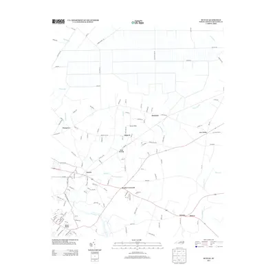
2013 Map of Bunyan
USGS Topo · Published 2013About this map
Beaverdam Swamp and Broad Cr define the low-lying geography of this coastal plain region near the Pamlico River. Several small communities and named intersections anchor the local geography, including Bunyan, Alligoods, and Douglas Crossroads. The settlement pattern reflects a deeply rooted rural landscape where life follows the drainage of Pungo Swamp and Big Swamp. North of the Highway 264 corridor, the land is divided by an extensive network of drainage canals and straight-line roads like Smithwick Canal Rd and Base Line Rd, illustrating the intensive management of these wetlands for agriculture and forestry. To the south, the landscape transitions toward the waterfront community of River Road and the wetlands of Upper Goose Cr, marking the convergence of inland drainage with the larger coastal estuary system.
Find a feature on this map
128 named features on this map. Tap any name to fly to it.
Don’t see what you’re looking for? This feature index may not catch every label — zoom into the map to look around manually.
Map Details
Editions of this 2013 Bunyan Map
This is the sole edition of this map. No revisions or reprints were ever made.
Other maps of this area

1902 · Vanceboro
USGS Topo · 1:62,500

1903 · Chocowinity
USGS Topo · 1:62,500

1904 · Vanceboro
USGS Topo · 1:62,500

1905 · Chocowinity
USGS Topo · 1:62,500

1905 · Vanceboro
USGS Topo · 1:62,500

1943 · Plymouth
USGS Topo · 1:125,000

1950 · Pinetown
USGS Topo · 1:24,000

1951 · Bunyan
USGS Topo · 1:24,000

1951 · Bath
USGS Topo · 1:24,000

1951 · Hackney
USGS Topo · 1:24,000