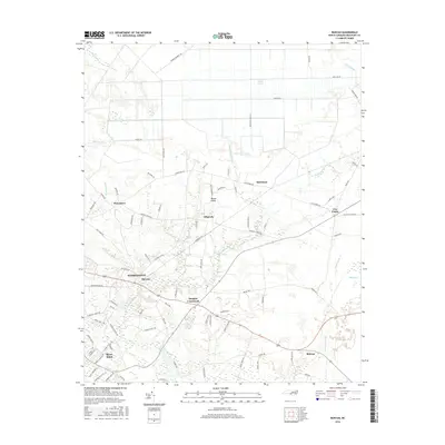
2016 Map of Bunyan
USGS Topo · Published 2016About this map
The low-lying coastal plains of Beaufort County come into focus near Washington, where the landscape is defined by the intricate hydrology of the Pamlico River tributaries. Small residential and agricultural nodes like Bunyan and Douglas Crossroads serve as anchors along the local road network, while the extensive Dismal Swamp and Pungo Swamp highlight the region's characteristic wetlands. The map reveals how modern development follows historical patterns, with clusters such as River Road and Midway established near the water's edge and older junctions like Five Points and Alligoods marking the interior. Local nomenclature, seen in names like Betsys Elbow and Herring Run, reflects a deep connection to the creeks and bends that have shaped settlement here for generations. This survey captures the area at a point of balance between its swampy wilderness and expanding community infrastructure.
Find a feature on this map
87 named features on this map. Tap any name to fly to it.
Don’t see what you’re looking for? This feature index may not catch every label — zoom into the map to look around manually.
Map Details
Editions of this 2016 Bunyan Map
This is the sole edition of this map. No revisions or reprints were ever made.
Other maps of this area

1902 · Vanceboro
USGS Topo · 1:62,500

1903 · Chocowinity
USGS Topo · 1:62,500

1904 · Vanceboro
USGS Topo · 1:62,500

1905 · Chocowinity
USGS Topo · 1:62,500

1905 · Vanceboro
USGS Topo · 1:62,500

1943 · Plymouth
USGS Topo · 1:125,000

1950 · Pinetown
USGS Topo · 1:24,000

1951 · Bunyan
USGS Topo · 1:24,000

1951 · Bath
USGS Topo · 1:24,000

1951 · Hackney
USGS Topo · 1:24,000