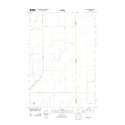
2013 Map of Burgen Lake
USGS Topo · Published 2013About this map
The Crow Wing River winds through this section of Wadena and Cass counties, defining a landscape of wetlands and river crossings. Key waterway features like Burrows Rapids, Westra Rapids, and the Sweeney Ford crossing highlight the historical importance of the river's navigation and access points. The eastern portion of the quadrangle is largely defined by the drainage of Big Swamp Cr and Little Swamp Cr, which converge as they move toward the river valley.
Find a feature on this map
28 named features on this map. Tap any name to fly to it.
Don’t see what you’re looking for? This feature index may not catch every label — zoom into the map to look around manually.
Map Details
Editions of this 2013 Burgen Lake Map
This is the sole edition of this map. No revisions or reprints were ever made.
Other maps of this area

1919 · Leader
USGS Topo · 1:62,500

1953 · Brainerd
USGS Topo · 1:250,000

1957 · Brainerd
USGS Topo · 1:250,000

1958 · Brainerd
USGS Topo · 1:250,000

1965 · Brainerd
USGS Topo · 1:250,000
1969 · Nimrod SW
USGS Topo · 1:24,000
1969 · Nimrod
USGS Topo · 1:24,000

1969 · Burgen Lake
USGS Topo · 1:24,000
1969 · Oylen
USGS Topo · 1:24,000

1970 · Spider Lake
USGS Topo · 1:24,000