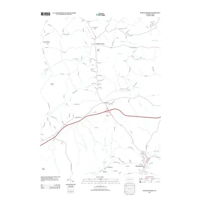
2013 Map of Burgettstown
USGS Topo · Published 2013About this map
Burgettstown anchors the southern portion of this landscape, where the confluence of local roads and the Burgetts Fork stream bed define the town's layout. The area reflects a history of industry and community, evidenced by the Francis Mine and the Frankfort Springs Grange located further north. The terrain is marked by numerous watercourses, including Harmon Cr and the Dinsmore Reservoir, which carved the valleys between landmarks such as Warriors Point.
Find a feature on this map
137 named features on this map. Tap any name to fly to it.
Don’t see what you’re looking for? This feature index may not catch every label — zoom into the map to look around manually.
Map Details
Editions of this 2013 Burgettstown Map
This is the sole edition of this map. No revisions or reprints were ever made.
Other maps of this area

1901 · Beaver
USGS Topo · 1:62,500

1904 · Wellsville
USGS Topo · 1:62,500

1904 · Steubenville
USGS Topo · 1:62,500

1904 · Beaver
USGS Topo · 1:62,500

1904 · Burgettstown
USGS Topo · 1:62,500

1906 · Burgettstown
USGS Topo · 1:62,500

1935 · Steubenville
USGS Topo · 1:62,500

1937 · Wellsville
USGS Topo · 1:62,500

1942 · Steubenville
USGS Topo · 1:62,500

1944 · Wellsville
USGS Topo · 1:62,500
Featured Places
- Burgettstown, PA
- Jefferson Township, PA
- Frankfort Springs, PA
- Dinsmore, Smith Township
- Comettsburg, Hanover Township