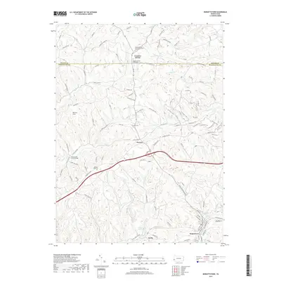
2019 Map of Burgettstown
USGS Topo · Published 2019About this map
Burgettstown and the surrounding hills of Washington and Beaver Counties are characterized by a network of winding roads and historical landmarks. A focal point of the area's heritage is the Jackson's Mill Covered Bridge spanning the local waterways, a structural link to the region's agricultural past. The map reveals a deeply rooted community structure, evidenced by multiple cemeteries like Grandview Cem and Chestnut Ridge Cem, alongside the Frankfort Springs United Presbyterian Church.
Find a feature on this map
84 named features on this map. Tap any name to fly to it.
Don’t see what you’re looking for? This feature index may not catch every label — zoom into the map to look around manually.
Map Details
Editions of this 2019 Burgettstown Map
This is the sole edition of this map. No revisions or reprints were ever made.
Other maps of this area

1901 · Beaver
USGS Topo · 1:62,500

1904 · Wellsville
USGS Topo · 1:62,500

1904 · Steubenville
USGS Topo · 1:62,500

1904 · Beaver
USGS Topo · 1:62,500

1904 · Burgettstown
USGS Topo · 1:62,500

1906 · Burgettstown
USGS Topo · 1:62,500

1935 · Steubenville
USGS Topo · 1:62,500

1937 · Wellsville
USGS Topo · 1:62,500

1942 · Steubenville
USGS Topo · 1:62,500

1944 · Wellsville
USGS Topo · 1:62,500
Featured Places
- Burgettstown, PA
- Jefferson Township, PA
- Frankfort Springs, PA
- Dinsmore, Smith Township
- Comettsburg, Hanover Township