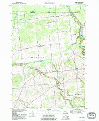
1993 Map of Burke
USGS Topo · Published 1995About this map
Agricultural fields and scattered rural hamlets characterize this northern Franklin County landscape along the international border with Canada. The village of Burke serves as a central hub, where St George Cem and Mitchell Cem provide valuable records for local genealogical research. To the north, the land slopes toward the Canada United States boundary, marked by the Port of Entry and the community of North Burke. The waterway of the Riviere Chateaugay carves through the eastern portion of the map, passing Cooks Mill and the area near Brayton Hollow.
Find a feature on this map
69 named features on this map. Tap any name to fly to it.
Don’t see what you’re looking for? This feature index may not catch every label — zoom into the map to look around manually.
Map Details
Editions of this 1993 Burke Map
This is the sole edition of this map. No revisions or reprints were ever made.
Other maps of this area

1915 · Chateaugay
USGS Topo · 1:62,500

1915 · Malone
USGS Topo · 1:62,500

1917 · Malone
USGS Topo · 1:62,500

1943 · Chateaugay
USGS Topo · 1:62,500

1948 · Ogdensburg
USGS Topo · 1:250,000

1951 · Ogdensburg
USGS Topo · 1:250,000

1953 · Ogdensburg
USGS Topo · 1:250,000

1961 · Ogdensburg
USGS Topo · 1:250,000
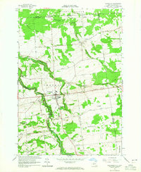
1964 · Chateaugay
USGS Topo · 1:24,000
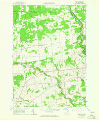
1964 · Burke
USGS Topo · 1:24,000