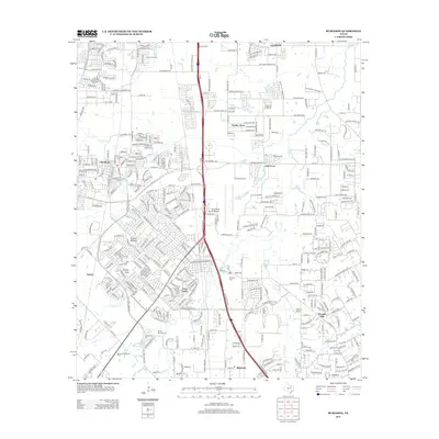
2012 Map of Burleson
USGS Topo · Published 2012About this map
Crowley and the surrounding suburban expansion south of Fort Worth define this landscape during the early 21st century. The map documents a transition from established communities to newer residential developments like Wooded Hills and Garden Acres. This growth is anchored by a sophisticated transportation network, including the Fort Worth Spinks Airport and a dense web of local streets such as McCart Ave and Crowley Rd.
Find a feature on this map
379 named features on this map. Tap any name to fly to it.
Don’t see what you’re looking for? This feature index may not catch every label — zoom into the map to look around manually.
Map Details
Editions of this 2012 Burleson Map
This is the sole edition of this map. No revisions or reprints were ever made.
Other maps of this area

1891 · Cleburne
USGS Topo · 1:125,000

1894 · Cleburne
USGS Topo · 1:125,000

1894 · Fort Worth
USGS Topo · 1:125,000

1954 · Dallas
USGS Topo · 1:250,000

1955 · Burleson
USGS Topo · 1:24,000

1955 · Primrose
USGS Topo · 1:24,000

1955 · Benbrook
USGS Topo · 1:24,000

1955 · Fort Worth
USGS Topo · 1:24,000

1958 · Dallas
USGS Topo · 1:250,000

1959 · Kennedale
USGS Topo · 1:24,000