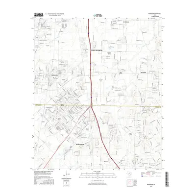
2016 Map of Burleson
USGS Topo · Published 2016About this map
Burleson and the expanding suburbs south of Fort Worth define this landscape along the Tarrant and Johnson county line. The transition from established town centers like Crowley and Everman to the more dispersed residential pockets of Garden Acres and Briaroaks reflects the area's rapid growth during the mid-2010s. Aviation plays a significant role in the local infrastructure, anchored by the Fort Worth Spinks Airport and the smaller Rafter J Airport.
Find a feature on this map
51 named features on this map. Tap any name to fly to it.
Don’t see what you’re looking for? This feature index may not catch every label — zoom into the map to look around manually.
Map Details
Editions of this 2016 Burleson Map
This is the sole edition of this map. No revisions or reprints were ever made.
Other maps of this area

1891 · Cleburne
USGS Topo · 1:125,000

1894 · Cleburne
USGS Topo · 1:125,000

1894 · Fort Worth
USGS Topo · 1:125,000

1954 · Dallas
USGS Topo · 1:250,000
1955 · Burleson
USGS Topo · 1:24,000
1955 · Primrose
USGS Topo · 1:24,000
1955 · Benbrook
USGS Topo · 1:24,000
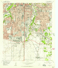
1955 · Fort Worth
USGS Topo · 1:24,000

1958 · Dallas
USGS Topo · 1:250,000
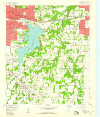
1959 · Kennedale
USGS Topo · 1:24,000