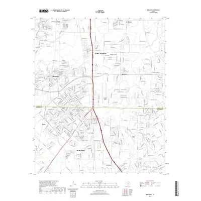
2019 Map of Burleson
USGS Topo · Published 2019About this map
Burleson and Crowley anchor this detailed 2019 survey, illustrating the modern expansion of the Fort Worth metroplex into northern Johnson and southern Tarrant Counties. The landscape is defined by the BNSF Railway corridor and a dense network of suburban residential streets that weave around older rural landmarks. Genealogists can identify several local burying grounds, including Crowley Cem, Oak Grove Cem, and Prairie Springs Cem, which provide historical continuity amidst rapid development.
Find a feature on this map
217 named features on this map. Tap any name to fly to it.
Don’t see what you’re looking for? This feature index may not catch every label — zoom into the map to look around manually.
Map Details
Editions of this 2019 Burleson Map
This is the sole edition of this map. No revisions or reprints were ever made.
Other maps of this area

1891 · Cleburne
USGS Topo · 1:125,000

1894 · Cleburne
USGS Topo · 1:125,000

1894 · Fort Worth
USGS Topo · 1:125,000

1954 · Dallas
USGS Topo · 1:250,000

1955 · Burleson
USGS Topo · 1:24,000

1955 · Primrose
USGS Topo · 1:24,000

1955 · Benbrook
USGS Topo · 1:24,000

1955 · Fort Worth
USGS Topo · 1:24,000

1958 · Dallas
USGS Topo · 1:250,000

1959 · Kennedale
USGS Topo · 1:24,000