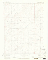
1969 Map of Burlington 3 NE
USGS Topo · Published 1973About this map
Sand Creek and its seasonal tributaries define this stretch of the High Plains in Kit Carson County during the late 1960s. The landscape is characterized by a high density of water wells, reflecting the intensive agricultural development and reliance on the Ogallala Aquifer for irrigation. This 1969 field survey documents the drainage patterns of Middle Beaver Creek and Sandy Creek, where the terrain begins to ripple with the characteristic breaks of the eastern Colorado plains. Along the western edge, industrial activity is noted at the Gravel Pits, providing a glimpse into the local extraction needs for road building and regional infrastructure at a time when the rural landscape was being precisely gridded for ownership and land use.
Find a feature on this map
7 named features on this map. Tap any name to fly to it.
Don’t see what you’re looking for? This feature index may not catch every label — zoom into the map to look around manually.
Map Details
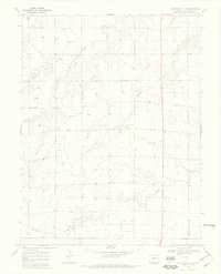
Editions of this 1969 Burlington 3 NE Map
2 editions found
Other maps of this area

1954 · Limon
USGS Topo · 1:250,000

1957 · Limon
USGS Topo · 1:250,000

1958 · Limon
USGS Topo · 1:250,000

1969 · Mount Sunflower SW
USGS Topo · 1:24,000

1969 · Burlington 3 SE
USGS Topo · 1:24,000

1969 · Bethune
USGS Topo · 1:24,000

1969 · Burlington
USGS Topo · 1:24,000

1969 · Mount Sunflower NW
USGS Topo · 1:24,000

1969 · Peconic
USGS Topo · 1:24,000

1969 · Burlington 3 NW
USGS Topo · 1:24,000