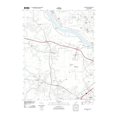
2010 Map of Burlington
USGS Topo · Published 2010About this map
The Ohio River carves a path between Northern Kentucky and Ohio, anchoring a landscape where aviation infrastructure meets historic river crossings. At the center of the sheet, the Greater Cincinnati International Airport dominates the terrain, while the historic Anderson Ferry and Andersons Ferry Marina maintain traditional links between Constance and the Ohio shore near Sayler Park. This era shows the expansion of logistics and commerce around Hebron and Florence, yet the map remains dense with genealogical markers, from the Independent Order of Odd Fellows Cemetery to the Old Burlington Cemetery.
Find a feature on this map
101 named features on this map. Tap any name to fly to it.
Don’t see what you’re looking for? This feature index may not catch every label — zoom into the map to look around manually.
Map Details
Editions of this 2010 Burlington Map
This is the sole edition of this map. No revisions or reprints were ever made.
Other maps of this area

1914 · West Cincinnati
USGS Topo · 1:62,500

1915 · Lawrenceburg
USGS Topo · 1:48,000

1928 · Lawrenceburg
USGS Topo · 1:62,500

1932 · Lawrenceburg
USGS Topo · 1:62,500

1943 · Rising Sun
USGS Topo · 1:24,000

1943 · Hooven
USGS Topo · 1:24,000

1943 · Lawrenceburg
USGS Topo · 1:24,000

1950 · Union
USGS Topo · 1:24,000

1950 · Independence
USGS Topo · 1:24,000

1950 · Covington
USGS Topo · 1:24,000