Loading...
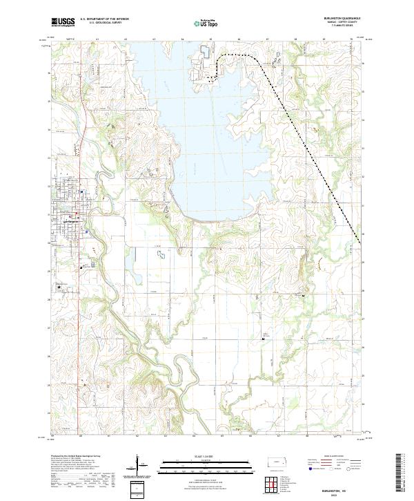
Loading map...1971 Map of Burlington
USGS Topo · Published 1973About this map
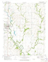
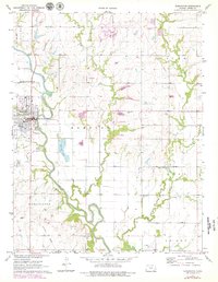
The Neosho River meanders sharply through the heart of this landscape, defining the industrial and agricultural development of Burlington in the early 1970s. The town's grid is anchored by the Atchison Topeka and Santa Fe railroad, which runs parallel to the river's western banks. Local infrastructure is well-documented, featuring the Fairground, a Gaging Station, and a centralized Sewage Disposal plant.
Find a feature on this map
26 named features on this map. Tap any name to fly to it.
Don’t see what you’re looking for? This feature index may not catch every label — zoom into the map to look around manually.
Map Details
Date Portrayed1971
Date Published1973
PublisherU.S. Geological Survey
Map TypeTopographic
Scale1:24,000
Physical Dimensions21.14 x 27.11 inches
Editions of this 1971 Burlington Map
2 editions found
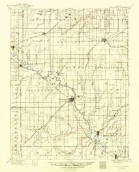
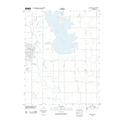
Historical Maps of Burlington Through Time
8 maps found

Featured Locations
Source Details
SourceU.S. Geological Survey
CopyrightPublic Domain