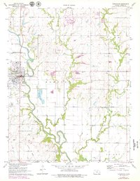
1971 Map of Burlington
USGS Topo · Published 1979About this map
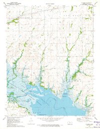
The Neosho River winds through the heart of this landscape, anchoring the city of Burlington at a time of notable infrastructure transition in the late 1970s. The map highlights a complex transport history, featuring both active lines and an Old Railroad Grade that speaks to earlier corridors of commerce. Significant civil works are evident, including a dam under construction along Wolf Creek, which would eventually transform the local hydrology. Genealogists will find a concentration of local history in the numerous burial grounds surrounding the town, such as Graceland Cemetery, Mt Hope Cem, and the outlying Stringtown Cem. From the Fairground and Gaging Station near the river to the Oil Wells and scattered Gravel Pits, the map documents a working rural county seat balancing traditional agriculture with emerging water management and industrial needs.
Find a feature on this map
28 named features on this map. Tap any name to fly to it.
Don’t see what you’re looking for? This feature index may not catch every label — zoom into the map to look around manually.
Map Details
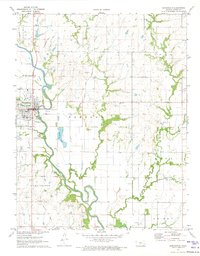
Editions of this 1971 Burlington Map
2 editions found
Other maps of this area

1885 · Burlington
USGS Topo · 1:125,000

1894 · Burlington
USGS Topo · 1:125,000

1947 · Lawrence
USGS Topo · 1:250,000

1950 · Lawrence
USGS Topo · 1:250,000

1956 · Lawrence
USGS Topo · 1:250,000

1961 · Lawrence
USGS Topo · 1:250,000
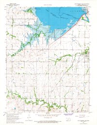
1966 · John Redmond Dam
USGS Topo · 1:24,000
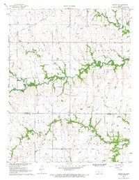
1967 · Gridley SE
USGS Topo · 1:24,000
1970 · Ottumwa
USGS Topo · 1:24,000
1971 · Waverly SE
USGS Topo · 1:24,000