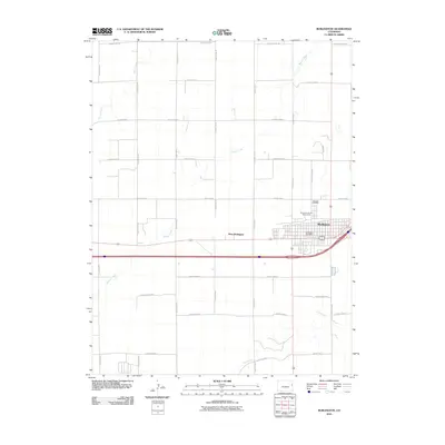
2010 Map of Burlington
USGS Topo · Published 2010About this map
The High Plains city of Burlington serves as the focal point of this 2010 survey, showing the community just as it appeared in the early 21st century. The map reveals the structured grid of the city, including the Burlington Post Office and the Kit Carson County Fairgrounds, while the smaller settlement of West Burlington sits just to the west along the highway corridor. This area of Kit Carson County is defined by its vast agricultural layout, dominated by an extensive network of section roads such as County Road AA and County Road S. Intersecting this orderly human geometry are the natural, winding paths of Beaver Creek, Bonny Creek, and Sand Creek, which provide the primary topographic relief in an otherwise flat landscape. Local history is anchored at the Fairview Cemetery, located on the northern edge of the city near the modern developments along Snead Dr.
Find a feature on this map
27 named features on this map. Tap any name to fly to it.
Don’t see what you’re looking for? This feature index may not catch every label — zoom into the map to look around manually.
Map Details
Editions of this 2010 Burlington Map
This is the sole edition of this map. No revisions or reprints were ever made.
Other maps of this area

1954 · Limon
USGS Topo · 1:250,000

1957 · Limon
USGS Topo · 1:250,000

1958 · Limon
USGS Topo · 1:250,000

1969 · Settlement
USGS Topo · 1:24,000

1969 · Bethune
USGS Topo · 1:24,000

1969 · Burlington
USGS Topo · 1:24,000

1969 · Mount Sunflower NW
USGS Topo · 1:24,000

1969 · Peconic
USGS Topo · 1:24,000

1969 · Kanorado NW
USGS Topo · 1:24,000

1969 · Burlington 3 NW
USGS Topo · 1:24,000