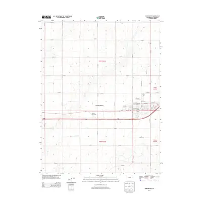
2013 Map of Burlington
USGS Topo · Published 2013About this map
Burlington and West Burlington serve as the primary hubs of this High Plains landscape, where the town grid meets the vast agricultural sections of Kit Carson County. The map documents a significant transportation corridor where Us-385 N intersects with local street networks including Colfax Ave and Martin Ave. This 2013 survey illustrates the civic and community structure of the area, featuring the Kit Carson County Fairgrounds and Fairview Cem on the northern edge of the settlement. The hydrology is defined by seasonal drainages such as Beaver Cr and Sand Cr, which cut through the surveyed townships. Outside the residential blocks, Aviation Acres Airport indicates the regional reliance on small-craft aviation in this eastern Colorado plateau.
Find a feature on this map
41 named features on this map. Tap any name to fly to it.
Don’t see what you’re looking for? This feature index may not catch every label — zoom into the map to look around manually.
Map Details
Editions of this 2013 Burlington Map
This is the sole edition of this map. No revisions or reprints were ever made.
Other maps of this area

1954 · Limon
USGS Topo · 1:250,000

1957 · Limon
USGS Topo · 1:250,000

1958 · Limon
USGS Topo · 1:250,000

1969 · Settlement
USGS Topo · 1:24,000

1969 · Bethune
USGS Topo · 1:24,000

1969 · Burlington
USGS Topo · 1:24,000

1969 · Mount Sunflower NW
USGS Topo · 1:24,000

1969 · Peconic
USGS Topo · 1:24,000

1969 · Kanorado NW
USGS Topo · 1:24,000

1969 · Burlington 3 NW
USGS Topo · 1:24,000