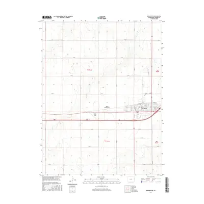
2016 Map of Burlington
USGS Topo · Published 2016About this map
Burlington serves as the focal point of this Eastern Colorado landscape, exhibiting a grid of streets including Colorado Ave, S Railroad Ave, and Senter Ave. The community is split between the primary town site and the newer development of West Burlington, positioned along the major transportation corridor that divides the quadrangle. North of the residential core, Fairview Cem stands as a significant site for genealogical research, while Aviation Acres Airport reflects the local infrastructure for regional travel.
Find a feature on this map
54 named features on this map. Tap any name to fly to it.
Don’t see what you’re looking for? This feature index may not catch every label — zoom into the map to look around manually.
Map Details
Editions of this 2016 Burlington Map
This is the sole edition of this map. No revisions or reprints were ever made.
Other maps of this area

1954 · Limon
USGS Topo · 1:250,000

1957 · Limon
USGS Topo · 1:250,000

1958 · Limon
USGS Topo · 1:250,000

1969 · Settlement
USGS Topo · 1:24,000

1969 · Bethune
USGS Topo · 1:24,000

1969 · Burlington
USGS Topo · 1:24,000

1969 · Mount Sunflower NW
USGS Topo · 1:24,000

1969 · Peconic
USGS Topo · 1:24,000

1969 · Kanorado NW
USGS Topo · 1:24,000

1969 · Burlington 3 NW
USGS Topo · 1:24,000