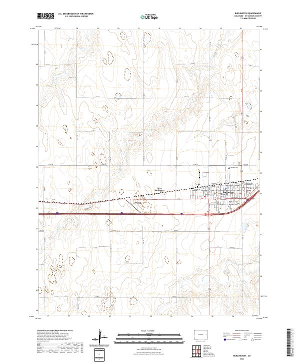
2022 Map of Burlington
USGS Topo · Published 2022About this map
Burlington serves as a vital hub for Kit Carson County, characterized by a grid-iron street plan that centers on civic and educational institutions. The Kit Carson County Courthouse stands as the focal point of local governance, while the Morgan Community College Burlington Center highlights the town’s role as a regional center for learning. The surrounding landscape is defined by the intermittent drainages of Beaver Cr, Bonny Cr, and Sand Cr, which cut through the high plains topography in a pattern that has dictated local road alignments and settlement boundaries for generations.
Find a feature on this map
57 named features on this map. Tap any name to fly to it.
Don’t see what you’re looking for? This feature index may not catch every label — zoom into the map to look around manually.
Map Details
Editions of this 2022 Burlington Map
This is the sole edition of this map. No revisions or reprints were ever made.
Other maps of this area

1954 · Limon
USGS Topo · 1:250,000

1957 · Limon
USGS Topo · 1:250,000

1958 · Limon
USGS Topo · 1:250,000

1969 · Settlement
USGS Topo · 1:24,000

1969 · Bethune
USGS Topo · 1:24,000

1969 · Burlington
USGS Topo · 1:24,000

1969 · Mount Sunflower NW
USGS Topo · 1:24,000

1969 · Peconic
USGS Topo · 1:24,000

1969 · Kanorado NW
USGS Topo · 1:24,000

1969 · Burlington 3 NW
USGS Topo · 1:24,000