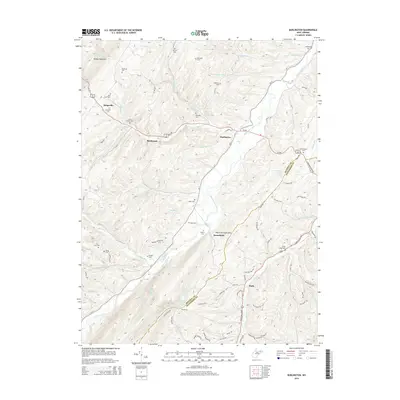
2014 Map of Burlington
USGS Topo · Published 2014About this map
Patterson Creek flows through the central valley of this Mineral and Hampshire County borderland, flanked by the prominent heights of Knobly Mountain and Patterson Creek Mtn. This rural landscape is defined by its small settlements and numerous family-named burial grounds, such as Rawlings Cem and Thrush Cem, suggesting a long-established agricultural community. The map details a network of local roads including the Northwestern Pike and Purgitsville Pike that connect crossroads like Burlington and Ridgeville. Several natural springs, including High Farm Spring and Cave Gap Spring, provide insight into the local water sources utilized by generations of residents. The presence of the Elijah High Cem and Stone Chapel Cem underscores the area's deep-rooted social and genealogical history.
Find a feature on this map
86 named features on this map. Tap any name to fly to it.
Don’t see what you’re looking for? This feature index may not catch every label — zoom into the map to look around manually.
Map Details
Editions of this 2014 Burlington Map
This is the sole edition of this map. No revisions or reprints were ever made.
Other maps of this area

1891 · Romney
USGS Topo · 1:125,000

1895 · Piedmont
USGS Topo · 1:125,000

1919 · Elk Garden
USGS Topo · 1:48,000

1920 · Elk Garden
USGS Topo · 1:48,000

1920 · Moorefield
USGS Topo · 1:62,500

1920 · Keyser
USGS Topo · 1:62,500

1921 · Keyser
USGS Topo · 1:48,000

1921 · Greenland Gap
USGS Topo · 1:62,500

1921 · Moorefield
USGS Topo · 1:48,000

1922 · Elk Garden
USGS Topo · 1:62,500