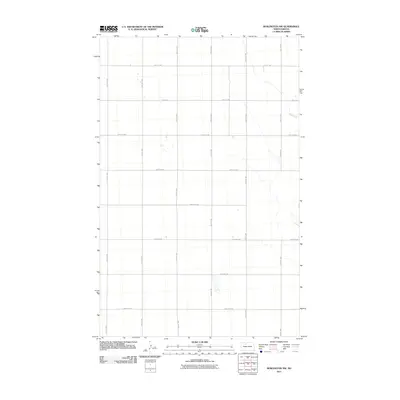
2011 Map of Burlington NW
USGS Topo · Published 2011About this map
Egg Creek meanders through the northeast corner of this Ward County landscape, providing the primary natural drainage in a region otherwise defined by the rigid geometry of the Public Land Survey System. The area is characterized by a sprawling network of section-line roads, including 74th St NW and 212th Ave NW, which delineate the agricultural grid. This 2011 survey, produced by the U.S. Geological Survey, reflects the late 20th-century rural infrastructure of the North Dakota prairie, where a few small, unnamed ponds and seasonal wetlands dot the sections between major corridors like 142nd Ave NW and 36th Ave NW. The map serves as a precise record of rural property boundaries and local road networks at the start of the decade.
Find a feature on this map
21 named features on this map. Tap any name to fly to it.
Don’t see what you’re looking for? This feature index may not catch every label — zoom into the map to look around manually.
Map Details
Editions of this 2011 Burlington NW Map
This is the sole edition of this map. No revisions or reprints were ever made.
Other maps of this area

1948 · Burlington
USGS Topo · 1:24,000

1948 · Lansford
USGS Topo · 1:62,500

1948 · Burlington
USGS Topo · 1:62,500

1948 · Lansford SW
USGS Topo · 1:24,000

1949 · Burlington NW
USGS Topo · 1:24,000

1949 · Lansford SW
USGS Topo · 1:24,000

1949 · Carpio NE
USGS Topo · 1:24,000

1949 · Grano
USGS Topo · 1:24,000

1949 · Lansford SE
USGS Topo · 1:24,000

1949 · Burlington SE
USGS Topo · 1:24,000