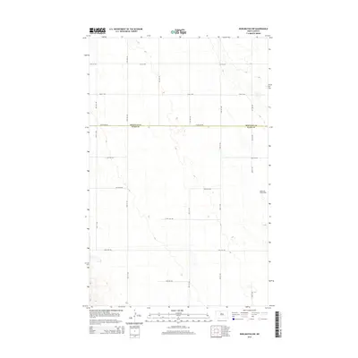
2014 Map of Burlington NW
USGS Topo · Published 2014About this map
The county line between Renville Co and Ward Co bisects this section of the North Dakota plains, where a rigid grid of gravel roads and section lines organizes the agricultural landscape. The western edge of Minot Air Force Base occupies the eastern boundary, marking a significant military presence in this otherwise rural expanse. The terrain is characterized by subtle elevation changes and prairie potholes, with Egg Cr winding through the northeast corner toward the Souris River valley. This 2014 survey documents the modern layout of rural infrastructure, including 212th Ave NW and 114th St NW, which facilitate transport across the high plains between small prairie townships and the larger regional military hub.
Find a feature on this map
21 named features on this map. Tap any name to fly to it.
Don’t see what you’re looking for? This feature index may not catch every label — zoom into the map to look around manually.
Map Details
Editions of this 2014 Burlington NW Map
This is the sole edition of this map. No revisions or reprints were ever made.
Other maps of this area

1948 · Burlington
USGS Topo · 1:24,000

1948 · Lansford
USGS Topo · 1:62,500

1948 · Burlington
USGS Topo · 1:62,500

1948 · Lansford SW
USGS Topo · 1:24,000

1949 · Burlington NW
USGS Topo · 1:24,000

1949 · Lansford SW
USGS Topo · 1:24,000

1949 · Carpio NE
USGS Topo · 1:24,000

1949 · Grano
USGS Topo · 1:24,000

1949 · Lansford SE
USGS Topo · 1:24,000

1949 · Burlington SE
USGS Topo · 1:24,000