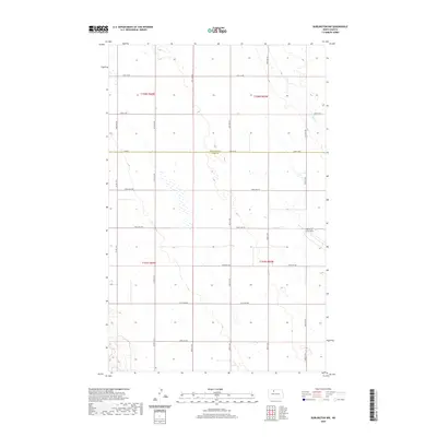
2020 Map of Burlington NW
USGS Topo · Published 2020About this map
The border of Renville Co and Ward Co divides this rural North Dakota landscape, defined by a strictly organized grid of sectional roads and vast agricultural drainage. The southeastern corner is anchored by a portion of the Minot Air Force Base, reflecting the significant military presence in this region. The terrain is characterized by a high concentration of small wetlands and prairie potholes that dot the landscape between the surveyed ranges. Egg Cr winds through the northeastern quadrant, providing a rare natural break in the geometric road system formed by routes like Co Rd 6 and 114th St NW. This layout reveals the enduring legacy of the Public Land Survey System in managing the northern plains, where transportation corridors such as Co Rd 15 W follow section lines with mathematical precision.
Find a feature on this map
28 named features on this map. Tap any name to fly to it.
Don’t see what you’re looking for? This feature index may not catch every label — zoom into the map to look around manually.
Map Details
Editions of this 2020 Burlington NW Map
This is the sole edition of this map. No revisions or reprints were ever made.
Other maps of this area

1948 · Burlington
USGS Topo · 1:24,000

1948 · Lansford
USGS Topo · 1:62,500

1948 · Burlington
USGS Topo · 1:62,500

1948 · Lansford SW
USGS Topo · 1:24,000

1949 · Burlington NW
USGS Topo · 1:24,000

1949 · Lansford SW
USGS Topo · 1:24,000

1949 · Carpio NE
USGS Topo · 1:24,000

1949 · Grano
USGS Topo · 1:24,000

1949 · Lansford SE
USGS Topo · 1:24,000

1949 · Burlington SE
USGS Topo · 1:24,000