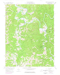
1957 Map of Burning Springs
USGS Topo · Published 1977About this map
The Little Kanawha River winds sharply through a landscape defined by its extractive industry and rural settlements during the late 1950s. The historic salt and oil production hub at Burning Springs remains a focal point, with numerous Oil Wells and Gas Wells scattered across the ridges and hollows. This area, spanning the intersection of Wirt, Roane, and Calhoun counties, reveals a dense network of local landmarks, including the Hill Grove Sch and Mt Pleasant Ch. A system of pipelines and jeep trails crisscrosses Burning Springs Ridge and Groundhog Ridge, supporting the region's energy economy. Smaller communities like Creston and Sanoma serve as anchors along the river and its many tributaries, such as Spring Creek, while family-named sites like Beaty Cem and Rose Hill Cem provide essential data for genealogical research.
Find a feature on this map
97 named features on this map. Tap any name to fly to it.
Don’t see what you’re looking for? This feature index may not catch every label — zoom into the map to look around manually.
Map Details
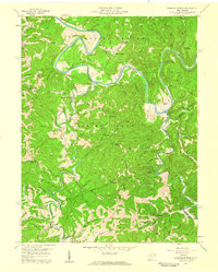
Editions of this 1957 Burning Springs Map
2 editions found
Other maps of this area

1906 · Elizabeth
USGS Topo · 1:62,500

1907 · Harrisville
USGS Topo · 1:62,500

1907 · Arnoldsburg
USGS Topo · 1:62,500

1907 · Spencer
USGS Topo · 1:62,500

1924 · Harrisville
USGS Topo · 1:62,500

1924 · Elizabeth
USGS Topo · 1:62,500

1925 · Arnoldsburg
USGS Topo · 1:62,500

1926 · Elizabeth
USGS Topo · 1:62,500

1926 · Harrisville
USGS Topo · 1:62,500

1927 · Arnoldsburg
USGS Topo · 1:62,500