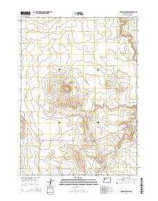
2014 Map of Burns Junction
USGS Topo · Published 2014About this map
Burns Junction serves as the focal point of this Malheur County landscape, situated where the Ion Hwy and Or-78 meet. This remote desert crossroads is defined by a vast drainage network, most notably the seasonal flow of Scott Butte Cr and Palomino Cr. The terrain is anchored by the prominent rise of Scott Butte, which overlooks the surrounding high desert plains. Evidence of water management in this arid environment is visible through the presence of Scott Ditch to the east. The map further documents the course of Crooked Cr and the appropriately named Drought Cr as they navigate the basin south of the junction. This 2014 survey records the infrastructure of the southeastern Oregon backcountry, from the established route of Powell Rd to the sprawling township and range sections that organize this sparsely populated region.
Find a feature on this map
14 named features on this map. Tap any name to fly to it.
Don’t see what you’re looking for? This feature index may not catch every label — zoom into the map to look around manually.
Map Details
Editions of this 2014 Burns Junction Map
This is the sole edition of this map. No revisions or reprints were ever made.
Other maps of this area

1955 · Jordan Valley
USGS Topo · 1:250,000

1957 · Jordan Valley
USGS Topo · 1:250,000

1958 · Jordan Valley
USGS Topo · 1:250,000

1972 · Palomino Hills
USGS Topo · 1:24,000

1972 · Owyhee Butte
USGS Topo · 1:24,000
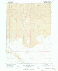
1972 · Palomino Lake
USGS Topo · 1:24,000

1972 · Rome
USGS Topo · 1:24,000
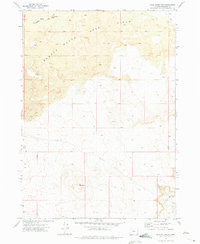
1972 · Iron Mountain
USGS Topo · 1:24,000
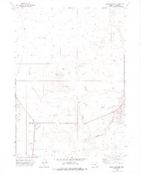
1972 · Burns Junction
USGS Topo · 1:24,000

1979 · Anderson Reservoir
USGS Topo · 1:24,000