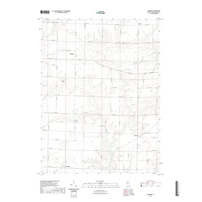
2021 Map of Burnside
USGS Topo · Published 2021About this map
Durham and Burnside anchor this Hancock County landscape, where the agricultural grid of eastern Illinois is broken by the winding descent of the La Moine River and its numerous tributaries. The map details a rural geography defined by small family cemeteries and crossroads settlements that have persisted through generations of farming. Key burial sites such as Vandruff Cem, Durham Cem, and Grove Cem are situated near the headwaters of local drainages like Wildcat Cr and Deer Cr. The inclusion of Douglas Airport north of Burnside indicates how modern local aviation has integrated into this traditional prairie setting. This survey captures the drainage patterns of the S Br La Moine River and Spring Cr, showing how the local topography has influenced road placement and land use across the township sections.
Find a feature on this map
36 named features on this map. Tap any name to fly to it.
Don’t see what you’re looking for? This feature index may not catch every label — zoom into the map to look around manually.
Map Details
Editions of this 2021 Burnside Map
This is the sole edition of this map. No revisions or reprints were ever made.
Other maps of this area

1913 · Colchester
USGS Topo · 1:62,500

1918 · La Harpe
USGS Topo · 1:62,500

1932 · Lomax
USGS Topo · 1:62,500

1933 · Carthage
USGS Topo · 1:62,500

1937 · Carthage
USGS Topo · 1:62,500

1937 · Lomax
USGS Topo · 1:62,500

1958 · Burlington
USGS Topo · 1:250,000

1961 · Burlington
USGS Topo · 1:250,000

1963 · Burlington
USGS Topo · 1:250,000

1964 · Lomax
USGS Topo · 1:24,000