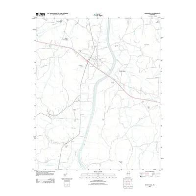
2012 Map of Burnsville
USGS Topo · Published 2012About this map
Burnsville serves as the central hub of this Tishomingo County landscape, where the Norfolk Southern railroad cuts a diagonal path through the local topography. The area is defined by its complex drainage network, notably the channelization seen in the Coke Creek Drainage Ditch and Marlow Creek Drainage Ditch, which redirect water across the lowlands of Little Yellow Creek and Yellow Creek. For genealogists, the map is particularly dense with family-named landmarks and rural burial grounds like Opossum Trot Cem and Rowland Mills Cem.
Find a feature on this map
128 named features on this map. Tap any name to fly to it.
Don’t see what you’re looking for? This feature index may not catch every label — zoom into the map to look around manually.
Map Details
Editions of this 2012 Burnsville Map
This is the sole edition of this map. No revisions or reprints were ever made.
Other maps of this area

1911 · Iuka
USGS Topo · 1:48,000

1914 · Iuka
USGS Topo · 1:62,500

1935 · Holcut
USGS Topo · 1:24,000

1935 · Doskie
USGS Topo · 1:24,000

1935 · Iuka
USGS Topo · 1:24,000

1935 · Leedy
USGS Topo · 1:24,000

1935 · Glens
USGS Topo · 1:24,000

1936 · Kendrick
USGS Topo · 1:24,000

1936 · Shaws
USGS Topo · 1:24,000

1936 · Tishomingo
USGS Topo · 1:24,000