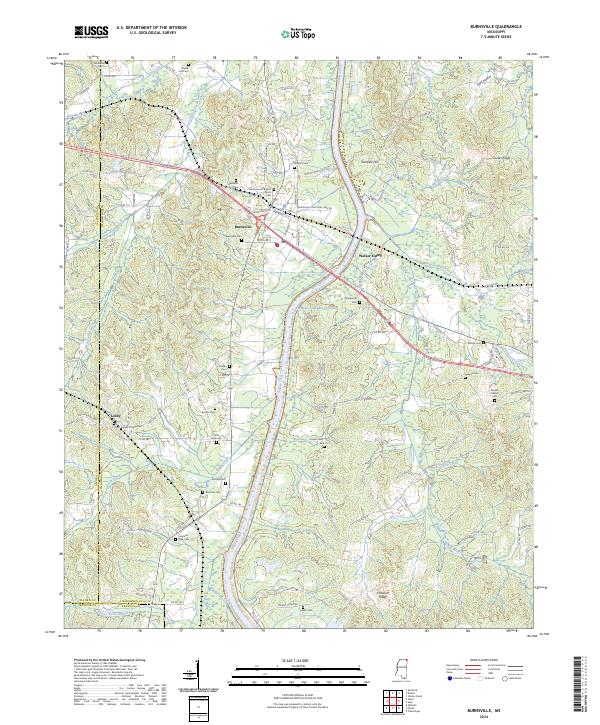
2024 Map of Burnsville
USGS Topo · Published 2024About this map
The Tennessee-Tombigbee Waterway cuts a distinct industrial path through the rolling ridges of northeastern Mississippi, bisecting a landscape defined by small crossroads settlements and family burial grounds. At Burnsville, the intersection of transport and community is evident near the Burnsville Municipal Park, while outlying hamlets like Leedy and Walker Siding maintain a quieter presence. The map is particularly rich for genealogical research, documenting numerous small cemeteries such as Opossum Trot Cem, Rowland Mills Cem, and Little Flock Cem. Local landmarks like Turnpike Hill and Chestnut Ridge rise above the drainage networks of Yellow Creek and Dry Creek, illustrating the natural topography that shaped early road patterns before modern highway developments like the nearby Tennessee-Tombigbee corridor transformed the local economy.
Find a feature on this map
125 named features on this map. Tap any name to fly to it.
Don’t see what you’re looking for? This feature index may not catch every label — zoom into the map to look around manually.
Map Details
Editions of this 2024 Burnsville Map
This is the sole edition of this map. No revisions or reprints were ever made.
Other maps of this area

1911 · Iuka
USGS Topo · 1:48,000

1914 · Iuka
USGS Topo · 1:62,500

1935 · Holcut
USGS Topo · 1:24,000

1935 · Doskie
USGS Topo · 1:24,000

1935 · Iuka
USGS Topo · 1:24,000

1935 · Leedy
USGS Topo · 1:24,000

1935 · Glens
USGS Topo · 1:24,000

1936 · Kendrick
USGS Topo · 1:24,000

1936 · Shaws
USGS Topo · 1:24,000

1936 · Tishomingo
USGS Topo · 1:24,000