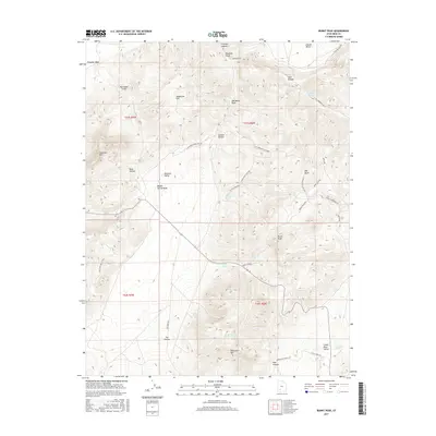
2017 Map of Burnt Peak
USGS Topo · Published 2017About this map
Hurricane Cliffs dominate the western edge of this Iron County landscape, marking a sharp topographic shift toward the high plateau country. The terrain is defined by a series of prominent peaks and deep drainage basins, including Burnt Peak and Showalter Mtn in the southern reaches. This 2017 survey reveals a complex network of seasonal water sources and natural catchments, such as Fremont Spring, Big Swamp Springs, and Cox Springs, which are critical in this arid environment.
Find a feature on this map
45 named features on this map. Tap any name to fly to it.
Don’t see what you’re looking for? This feature index may not catch every label — zoom into the map to look around manually.
Map Details
Editions of this 2017 Burnt Peak Map
This is the sole edition of this map. No revisions or reprints were ever made.
Other maps of this area

1885 · Beaver
USGS Topo · 1:250,000

1886 · Kanab
USGS Topo · 1:250,000

1953 · Richfield
USGS Topo · 1:250,000

1953 · Cedar City
USGS Topo · 1:250,000

1958 · Richfield
USGS Topo · 1:250,000

1958 · Cedar City
USGS Topo · 1:250,000

1962 · Cedar City
USGS Topo · 1:250,000

1966 · Fremont Pass
USGS Topo · 1:24,000

1966 · Panguitch NW
USGS Topo · 1:24,000

1971 · Buckhorn Flat
USGS Topo · 1:24,000