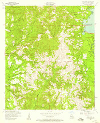
1954 Map of Burr Ferry
USGS Topo · Published 1958About this map
Burr Ferry sits at the western edge of this mid-century survey, a settlement defined by its proximity to the Texas border and the winding waters of Pearl Creek. The landscape is heavily marked by a dismantled railroad that snakes through the central and southern portions of the quadrangle, indicating a past reliant on timber or rail-based transport that had already transitioned by the 1950s. To the east, the sprawling waters of Anacoco Lake and Anacoco Bayou dominate the drainage pattern, fed by numerous tributaries such as Redbank Creek and Wolf Creek.
Find a feature on this map
23 named features on this map. Tap any name to fly to it.
Don’t see what you’re looking for? This feature index may not catch every label — zoom into the map to look around manually.
Map Details
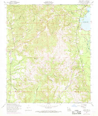
Editions of this 1954 Burr Ferry Map
2 editions found
Other maps of this area

1941 · Leesville
USGS Topo · 1:62,500

1943 · Leesville
USGS Topo · 1:62,500

1944 · Wiergate
USGS Topo · 1:62,500

1946 · Leesville
USGS Topo · 1:62,500

1947 · Rosepine
USGS Topo · 1:31,680

1947 · Knight
USGS Topo · 1:31,680

1948 · Leesville
USGS Topo · 1:62,500

1948 · Wiergate
USGS Topo · 1:62,500

1949 · Evans
USGS Topo · 1:31,680

1952 · Lake Charles
USGS Topo · 1:250,000