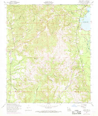
1954 Map of Burr Ferry
USGS Topo · Published 1968About this map
Burr Ferry serves as the focal point for this survey of western Vernon Parish, situated near the winding waters of Pearl Creek. The landscape is defined by a dense network of drainages including Forker Creek, Clear Creek, and Wolf Creek, all feeding into the prominent Anacoco Lake and Bayou Anacoco to the east. A notable artifact of the region's industrial past is the dismantled railroad that weaves through the central and southern sections, tracing former logging or transit routes that once supported the local economy.
Find a feature on this map
27 named features on this map. Tap any name to fly to it.
Don’t see what you’re looking for? This feature index may not catch every label — zoom into the map to look around manually.
Map Details
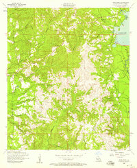
Editions of this 1954 Burr Ferry Map
2 editions found
Other maps of this area

1941 · Leesville
USGS Topo · 1:62,500

1943 · Leesville
USGS Topo · 1:62,500

1944 · Wiergate
USGS Topo · 1:62,500

1946 · Leesville
USGS Topo · 1:62,500

1947 · Rosepine
USGS Topo · 1:31,680

1947 · Knight
USGS Topo · 1:31,680

1948 · Leesville
USGS Topo · 1:62,500

1948 · Wiergate
USGS Topo · 1:62,500

1949 · Evans
USGS Topo · 1:31,680

1952 · Lake Charles
USGS Topo · 1:250,000