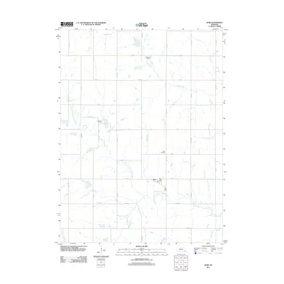
2011 Map of Burr
USGS Topo · Published 2011About this map
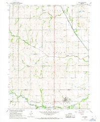
Burr serves as the central hub of this Otoe County landscape, where the Burr Post Office anchors a community defined by its intersection of water and roadway networks. The village is situated north of the South Fork Little Nemaha River, a significant waterway that winds through the southern portion of the quadrangle. The surrounding agricultural lands are partitioned by a precise grid of county roads, such as Co Rd R and S 16th Rd, which connect scattered homesteads and local landmarks. For genealogists and local historians, the presence of Dughman Cemetery and Hope Cemetery provides vital clues to the area's early families. Further north, the private Watermeier Airport reflects the continued modernization of rural Nebraska transportation. The terrain is further drained by several tributaries, including Muddy Creek, Little Muddy Creek, and Saunders Creek, which shape the local topography and settlement patterns.
Find a feature on this map
30 named features on this map. Tap any name to fly to it.
Don’t see what you’re looking for? This feature index may not catch every label — zoom into the map to look around manually.
Map Details
Editions of this 2011 Burr Map
This is the sole edition of this map. No revisions or reprints were ever made.
Other maps of this area

1903 · Weeping Water
USGS Topo · 1:125,000

1929 · Weeping Water
USGS Topo · 1:125,000

1955 · Lincoln
USGS Topo · 1:250,000

1957 · Lincoln
USGS Topo · 1:250,000

1958 · Lincoln
USGS Topo · 1:250,000

1965 · Sterling
USGS Topo · 1:24,000
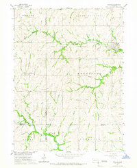
1965 · Douglas
USGS Topo · 1:24,000
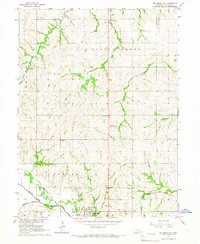
1965 · Tecumseh NW
USGS Topo · 1:24,000
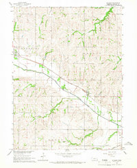
1965 · St. Mary
USGS Topo · 1:24,000
1966 · Cook
USGS Topo · 1:24,000