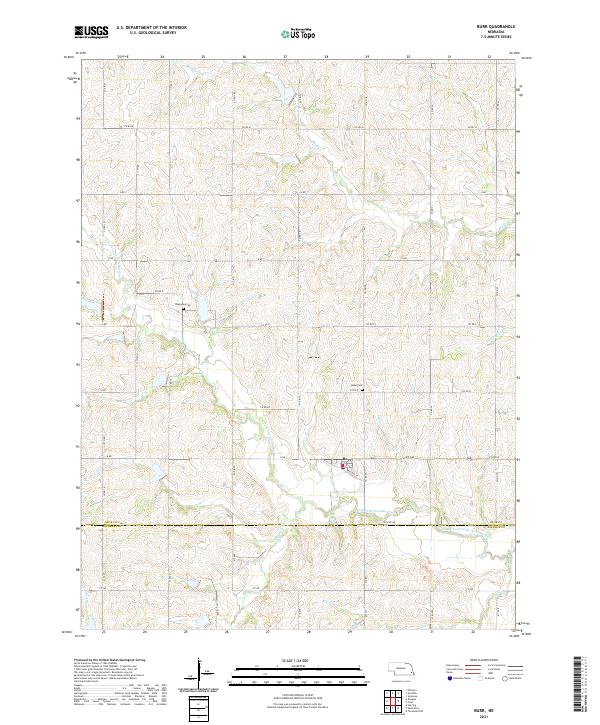
2021 Map of Burr
USGS Topo · Published 2021About this map
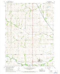
Burr sits along the Railway St corridor in this southern Otoe County landscape, where the agricultural grid meets the winding drainages of the South Fork Little Nemaha River. The area is defined by its watercourses, including Muddy Cr, Little Muddy Cr, and Saunders Cr, which carve through the terrain between the Nebraska townships of t7n r10e and t6n r10e. For local historians and genealogists, the map identifies specific burial sites such as Dughman Cem and Hope Cem, located north of the town center. The southern boundary of the sheet follows Co Line Rd, marking the transition into Johnson County. This survey documents the modern road network, from local routes like Spr 66F to the extensive county road system, reflecting the persistent rural structure of this eastern Nebraska farming community.
Find a feature on this map
49 named features on this map. Tap any name to fly to it.
Don’t see what you’re looking for? This feature index may not catch every label — zoom into the map to look around manually.
Map Details
Editions of this 2021 Burr Map
This is the sole edition of this map. No revisions or reprints were ever made.
Other maps of this area

1903 · Weeping Water
USGS Topo · 1:125,000

1929 · Weeping Water
USGS Topo · 1:125,000

1955 · Lincoln
USGS Topo · 1:250,000

1957 · Lincoln
USGS Topo · 1:250,000

1958 · Lincoln
USGS Topo · 1:250,000

1965 · Sterling
USGS Topo · 1:24,000
1965 · Douglas
USGS Topo · 1:24,000
1965 · Tecumseh NW
USGS Topo · 1:24,000
1965 · St. Mary
USGS Topo · 1:24,000
1966 · Cook
USGS Topo · 1:24,000