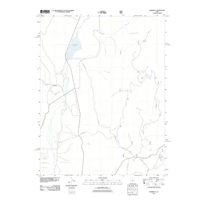
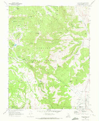
2011 Map of Burrville
USGS Topo · Published 2011About this map
Burrville serves as the primary settlement hub in this high-elevation plateau region of Sevier County, where water management is central to the landscape. The northern portion of the sheet is dominated by the Koosharem Reservoir, which collects water from Boobe Hole Creek and Otter Creek. This vital water source feeds the Koosharem Canal, illustrating the engineering required to sustain agriculture and life in this arid environment.
Find a feature on this map
28 named features on this map. Tap any name to fly to it.
Don’t see what you’re looking for? This feature index may not catch every label — zoom into the map to look around manually.
Map Details
Editions of this 2011 Burrville Map
This is the sole edition of this map. No revisions or reprints were ever made.
Other maps of this area

1885 · Fish Lake
USGS Topo · 1:250,000

1896 · Fish Lake
USGS Topo · 1:250,000

1956 · Salina
USGS Topo · 1:250,000

1960 · Salina
USGS Topo · 1:250,000

1962 · Salina
USGS Topo · 1:250,000

1968 · Fish Lake
USGS Topo · 1:24,000
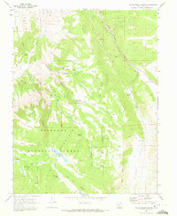
1968 · Water Creek Canyon
USGS Topo · 1:24,000
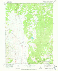
1968 · Boobe Hole Reservoir
USGS Topo · 1:24,000
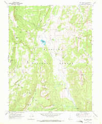
1968 · Mt Terrill
USGS Topo · 1:24,000
1968 · Koosharem
USGS Topo · 1:24,000