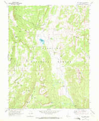
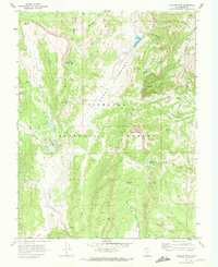
1968 Map of Mt Terrill
USGS Topo · Published 1972About this map
Mt Terrill dominates the skyline of the Fishlake National Forest in this late 1960s survey, marking a significant high point of the Hightop Plateau. The landscape is a complex network of high-elevation water management and transport, featuring the Lost Creek Reservoir 9702 and the Mt Terrill Guard Station. Geologic history is visible through the presence of several Cirques and family-named landmarks like Butterfield Meadow and Neals Flat. The map documents a transition in wilderness access, from established routes like the Humphrey Trail and the curiously named Cedrics Dugway to the expanding system of jeep trails that connect remote points such as Whiskey Knoll and Mt Marvine. Hydrological data is represented by the Gaging Station on Sevenmile Creek, reflecting the importance of water tracking in this part of Sevier County.
Find a feature on this map
39 named features on this map. Tap any name to fly to it.
Don’t see what you’re looking for? This feature index may not catch every label — zoom into the map to look around manually.
Map Details
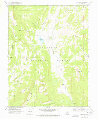
Editions of this 1968 Mt Terrill Map
2 editions found
Other maps of this area

1885 · Fish Lake
USGS Topo · 1:250,000

1896 · Fish Lake
USGS Topo · 1:250,000

1956 · Salina
USGS Topo · 1:250,000

1960 · Salina
USGS Topo · 1:250,000

1962 · Salina
USGS Topo · 1:250,000
1966 · Rex Reservoir
USGS Topo · 1:24,000

1966 · Yogo Creek
USGS Topo · 1:24,000
1966 · Gooseberry Creek
USGS Topo · 1:24,000

1968 · Fish Lake
USGS Topo · 1:24,000
1968 · Hilgard Mtn
USGS Topo · 1:24,000