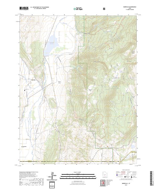
2023 Map of Burrville
USGS Topo · Published 2023About this map
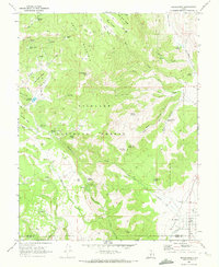
Plateau Valley and Grass Valley form the heart of this agricultural and mountain landscape, where the waters of Otter Creek are carefully managed through the Koosharem Reservoir and Koosharem Canal to support the high-elevation ranching communities. The settlement of Burrville serves as a focal point for the northern valley, anchored by the Burrville Cem, while the town of Koosharem sits just across the county line to the south. This area demonstrates a complex network of historical transportation routes, including the Piute Trl and Old Bamberger Rd, which navigate the transition from the flat valley floor to the soaring heights of the Fish Lake Hightop Plateau. Much of the eastern terrain is protected within the Fishlake National Forest, where numerous named canyons such as Daniels Canyon and Doctor Canyon cut through the rugged slopes.
Find a feature on this map
65 named features on this map. Tap any name to fly to it.
Don’t see what you’re looking for? This feature index may not catch every label — zoom into the map to look around manually.
Map Details
Editions of this 2023 Burrville Map
This is the sole edition of this map. No revisions or reprints were ever made.
Other maps of this area

1885 · Fish Lake
USGS Topo · 1:250,000

1896 · Fish Lake
USGS Topo · 1:250,000

1956 · Salina
USGS Topo · 1:250,000

1960 · Salina
USGS Topo · 1:250,000

1962 · Salina
USGS Topo · 1:250,000

1968 · Fish Lake
USGS Topo · 1:24,000
1968 · Water Creek Canyon
USGS Topo · 1:24,000
1968 · Boobe Hole Reservoir
USGS Topo · 1:24,000
1968 · Mt Terrill
USGS Topo · 1:24,000
1968 · Koosharem
USGS Topo · 1:24,000