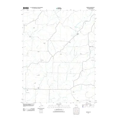
2012 Map of Burton
USGS Topo · Published 2012About this map
Moniteau Creek and its many tributaries, including Hungry Mother Creek and Braggs Branch, define the rural landscape of Howard and Missouri counties. This 2012 survey reveals a deeply rooted agricultural community where legacy family names are preserved through a high density of small burial grounds. Genealogists will find nearly twenty distinct sites, ranging from the Mount Nebo Cemetery and Ancell Cemetery to the Old Cemetery near the Palmer Lake Dam. The settlement pattern is characterized by small crossroads like Burton, Punkin Center, and Sebree, connected by an intricate web of county roads. The terrain is marked by significant water features such as Salt Fork and Shady Oaks Lake, illustrating how the drainage network of Lick Fork and Doe Creek has influenced local infrastructure and land use.
Find a feature on this map
57 named features on this map. Tap any name to fly to it.
Don’t see what you’re looking for? This feature index may not catch every label — zoom into the map to look around manually.
Map Details
Editions of this 2012 Burton Map
This is the sole edition of this map. No revisions or reprints were ever made.
Other maps of this area

1890 · Moberly
USGS Topo · 1:125,000

1890 · Glasgow
USGS Topo · 1:125,000

1917 · Sturgeon
USGS Topo · 1:62,500

1952 · New Franklin
USGS Topo · 1:24,000

1952 · Hilldale
USGS Topo · 1:24,000

1953 · Moberly
USGS Topo · 1:250,000

1953 · Fayette
USGS Topo · 1:24,000

1953 · Burton
USGS Topo · 1:24,000

1953 · Renick
USGS Topo · 1:24,000

1953 · Higbee
USGS Topo · 1:24,000