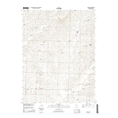
2014 Map of Burton
USGS Topo · Published 2014About this map
Sebree anchors the southern edge of this Howard County landscape, where the meandering course of Moniteau Cr meets the mouth of Hunters Cr. The terrain is defined by a dense network of creek branches and forks, including the evocatively named Hungry Mother Cr and Lick Fork, which carve through the rural countryside. Small community clusters like Burton, Bunker Hill, and Punkin Center are connected by a web of county roads such as Highway BB and CR-120.
Find a feature on this map
68 named features on this map. Tap any name to fly to it.
Don’t see what you’re looking for? This feature index may not catch every label — zoom into the map to look around manually.
Map Details
Editions of this 2014 Burton Map
This is the sole edition of this map. No revisions or reprints were ever made.
Other maps of this area

1890 · Moberly
USGS Topo · 1:125,000

1890 · Glasgow
USGS Topo · 1:125,000

1917 · Sturgeon
USGS Topo · 1:62,500

1952 · New Franklin
USGS Topo · 1:24,000

1952 · Hilldale
USGS Topo · 1:24,000

1953 · Moberly
USGS Topo · 1:250,000

1953 · Fayette
USGS Topo · 1:24,000

1953 · Burton
USGS Topo · 1:24,000

1953 · Renick
USGS Topo · 1:24,000

1953 · Higbee
USGS Topo · 1:24,000