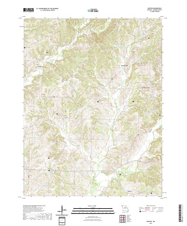
2021 Map of Burton
USGS Topo · Published 2021About this map
The Salt Fork and Hungry Mother Cr define the drainage patterns of this Howard County landscape, where small rural crossroads like Burton and Bunker Hill anchor the local community. The area is notable for its high density of family and community burial grounds, including Mount Nebo Cem, Thompson Cem, and Jackson Cem, providing a clear map of local genealogy and historic land ownership.
Find a feature on this map
66 named features on this map. Tap any name to fly to it.
Don’t see what you’re looking for? This feature index may not catch every label — zoom into the map to look around manually.
Map Details
Editions of this 2021 Burton Map
This is the sole edition of this map. No revisions or reprints were ever made.
Other maps of this area

1890 · Moberly
USGS Topo · 1:125,000

1890 · Glasgow
USGS Topo · 1:125,000

1917 · Sturgeon
USGS Topo · 1:62,500

1952 · New Franklin
USGS Topo · 1:24,000

1952 · Hilldale
USGS Topo · 1:24,000

1953 · Moberly
USGS Topo · 1:250,000

1953 · Fayette
USGS Topo · 1:24,000

1953 · Burton
USGS Topo · 1:24,000

1953 · Renick
USGS Topo · 1:24,000

1953 · Higbee
USGS Topo · 1:24,000