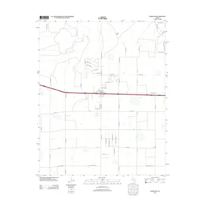
2012 Map of Bushland
USGS Topo · Published 2012About this map
The settlement of Bushland sits at the heart of this High Plains landscape, situated along a busy transportation corridor that includes a major frontage road and several street-level residential developments such as 19th St and 20th St. To the northwest, the terrain is marked by the distinctive Goat Mtn and the drainage systems of Tecovas Cr and Spring Cr. The transition from rural agriculture to modern residential growth is evident in the naming of streets like Cotton Pavement Rd alongside newer subdivisions with thematic names like Buffalo Springs Trl and Coyote Spgs N. Near the western edge, Ida Lake provides a localized water feature in this largely arid region. The map captures a moment of suburban expansion into traditional ranching lands, with longstanding routes like Frying Pan Rd intersecting with a growing grid of residential lanes and trails.
Find a feature on this map
52 named features on this map. Tap any name to fly to it.
Don’t see what you’re looking for? This feature index may not catch every label — zoom into the map to look around manually.
Map Details
Editions of this 2012 Bushland Map
This is the sole edition of this map. No revisions or reprints were ever made.
Other maps of this area

1934 · Ady
USGS Topo · 1:62,500

1934 · Cliffside
USGS Topo · 1:62,500

1936 · Cliffside
USGS Topo · 1:62,500

1936 · Ady
USGS Topo · 1:62,500

1953 · Cliffside
USGS Topo · 1:24,000

1954 · Tucumcari
USGS Topo · 1:250,000

1954 · Amarillo
USGS Topo · 1:250,000

1958 · Amarillo
USGS Topo · 1:250,000

1958 · Tucumcari
USGS Topo · 1:250,000
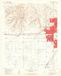
1960 · Amarillo West
USGS Topo · 1:24,000