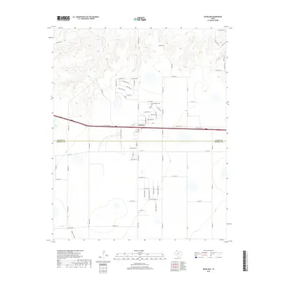
2019 Map of Bushland
USGS Topo · Published 2019About this map
Bushland serves as a central hub in this High Plains landscape, situated along the primary east-west transport corridor. The map highlights a transition from the structured residential grid and ranch roads of the south to the more dissected terrain of the Canadian River breaks to the north. Water features like Ida Lake and the drainage of Tecovas Cr and Spring Cr carve through the plains, while the prominent elevation of Goat Mtn stands out against the surrounding topography. The boundary between Potter Co and Randall Co bisects the area just south of the main settlement. Local navigation is defined by a network of rural routes, including Ranch Rd 2381 and the uniquely named Jim Line, which reflect the area's ranching heritage and ongoing residential expansion.
Find a feature on this map
67 named features on this map. Tap any name to fly to it.
Don’t see what you’re looking for? This feature index may not catch every label — zoom into the map to look around manually.
Map Details
Editions of this 2019 Bushland Map
This is the sole edition of this map. No revisions or reprints were ever made.
Other maps of this area

1934 · Ady
USGS Topo · 1:62,500

1934 · Cliffside
USGS Topo · 1:62,500

1936 · Cliffside
USGS Topo · 1:62,500

1936 · Ady
USGS Topo · 1:62,500

1953 · Cliffside
USGS Topo · 1:24,000

1954 · Tucumcari
USGS Topo · 1:250,000

1954 · Amarillo
USGS Topo · 1:250,000

1958 · Amarillo
USGS Topo · 1:250,000

1958 · Tucumcari
USGS Topo · 1:250,000
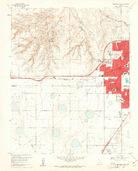
1960 · Amarillo West
USGS Topo · 1:24,000