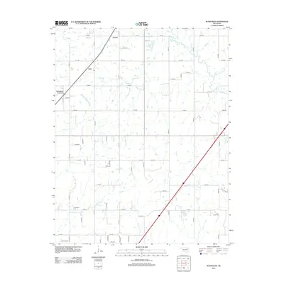
2012 Map of Bushyhead
USGS Topo · Published 2012About this map
Bushyhead sits in a landscape defined by an orderly grid of country roads and winding watercourses in Rogers County. Small settlements like Hisle and Howard punctuate the northern sections of the map, connected by a network of rural routes such as E 380 Rd and E 430 Rd. The terrain is deeply carved by the drainage systems of Dog Cr, Diver Cr, and Pryor Cr, which snake through the fields toward the Polone Reservoir.
Find a feature on this map
42 named features on this map. Tap any name to fly to it.
Don’t see what you’re looking for? This feature index may not catch every label — zoom into the map to look around manually.
Map Details
Editions of this 2012 Bushyhead Map
This is the sole edition of this map. No revisions or reprints were ever made.
Other maps of this area

1896 · Pryor
USGS Topo · 1:125,000

1901 · Claremore
USGS Topo · 1:125,000

1901 · Nowata
USGS Topo · 1:125,000

1901 · Vinita
USGS Topo · 1:125,000

1901 · Pryor
USGS Topo · 1:125,000

1913 · Vinita
USGS Topo · 1:125,000

1914 · Nowata
USGS Topo · 1:125,000

1914 · Claremore
USGS Topo · 1:125,000

1916 · Claremore
USGS Topo · 1:125,000

1954 · Tulsa
USGS Topo · 1:250,000