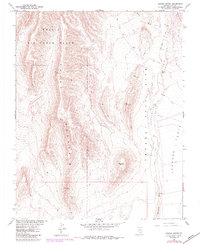
1961 Map of Busted Butte
USGS Topo · Published 1984About this map
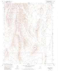
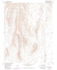
Nellis Air Force Range and the Nevada Test Site dominate this 1961 survey, which was updated through 1983 in cooperation with the Atomic Energy Commission. The landscape is defined by the massive ridge of Yucca Mountain and the expansive desert of Jackass Flats. These restricted government lands were mapped with high precision, noting the drainage systems of Yucca Wash and Fortymile Wash that cut through the arid terrain. Notable geographic landmarks include the distinctive Busted Butte and the Calico Hills in the northeast. This edition reveals the limited physical infrastructure of the era, consisting primarily of isolated vertical control stations like VABM Iron 4161 and Well J-12, alongside sparse networks of unnamed tracks and a single Jeep Trail winding through Fortymile Canyon.
Find a feature on this map
18 named features on this map. Tap any name to fly to it.
Don’t see what you’re looking for? This feature index may not catch every label — zoom into the map to look around manually.
Map Details
Editions of this 1961 Busted Butte Map
6 editions found
Other maps of this area

1908 · Furnace Creek
USGS Topo · 1:250,000

1910 · Furnace Creek
USGS Topo · 1:250,000

1942 · Skull Mountain
USGS Topo · 1:125,000

1942 · Bullfrog
USGS Topo · 1:125,000

1948 · Death Valley
USGS Topo · 1:250,000

1952 · Topopah Spring
USGS Topo · 1:62,500

1952 · Big Dune
USGS Topo · 1:62,500

1954 · Bare Mtn
USGS Topo · 1:62,500

1954 · Death Valley
USGS Topo · 1:250,000

1956 · Death Valley
USGS Topo · 1:250,000