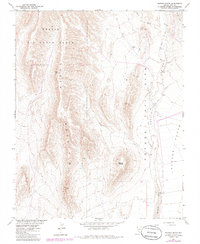
1961 Map of Busted Butte
USGS Topo · Published 1986About this map
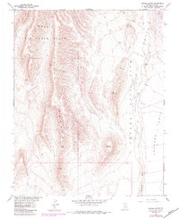
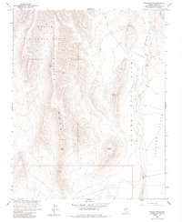
Yucca Mountain dominates this high-desert landscape within the Nevada Test Site and the Nellis Air Force Range, an area defined by federal atomic and military operations. Published by the Geological Survey in cooperation with the Atomic Energy Commission, the map details a landscape of strategic isolation and topographical extremes. To the east, the wide expanse of Jackass Flats transitions into the drainage systems of Fortymile Wash and Yucca Wash, which carve through the arid terrain. The map's namesake, Busted Butte, stands as a prominent landmark south of Fortymile Canyon. Surveyors documented several Vertical Angle Bench Marks (VABM) across the ridges, including VABM Fran 4110 and VABM Alice 4047, alongside a network of Jeep Trails that provided the only ground access to these restricted basins during the Cold War era.
Find a feature on this map
17 named features on this map. Tap any name to fly to it.
Don’t see what you’re looking for? This feature index may not catch every label — zoom into the map to look around manually.
Map Details
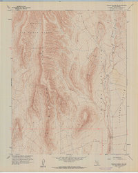
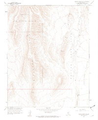
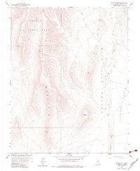
Editions of this 1961 Busted Butte Map
6 editions found
Other maps of this area

1908 · Furnace Creek
USGS Topo · 1:250,000

1910 · Furnace Creek
USGS Topo · 1:250,000

1942 · Skull Mountain
USGS Topo · 1:125,000

1942 · Bullfrog
USGS Topo · 1:125,000

1948 · Death Valley
USGS Topo · 1:250,000

1952 · Topopah Spring
USGS Topo · 1:62,500

1952 · Big Dune
USGS Topo · 1:62,500

1954 · Bare Mtn
USGS Topo · 1:62,500

1954 · Death Valley
USGS Topo · 1:250,000

1956 · Death Valley
USGS Topo · 1:250,000